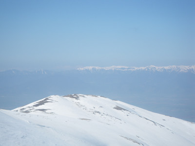
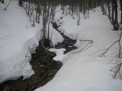
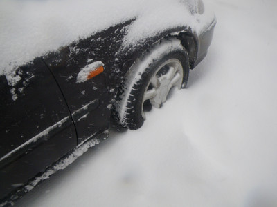
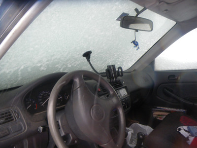
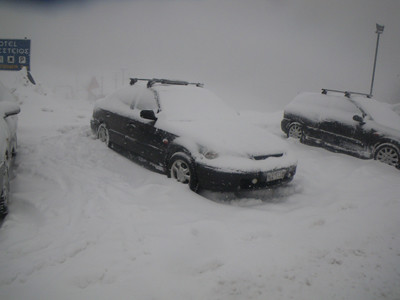
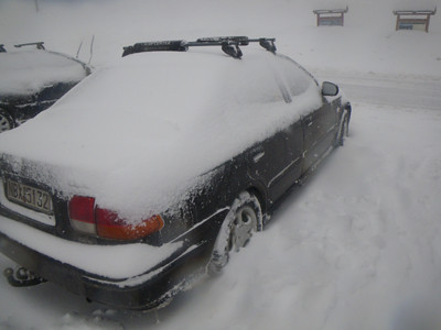
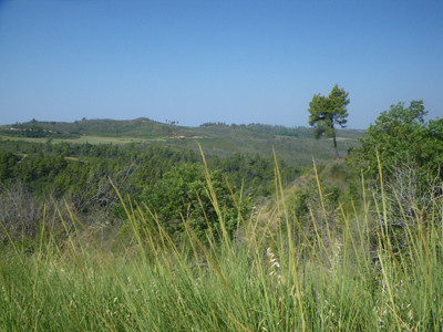
The first snow came. I took the opportunity and with Anthony started climbing to Chortiatis mountain. We met at 13:00 at Agios Paulos and cross the Sheich Sou forest from snowy dirt roads. The winter landscape was so beautiful and the weather cold. We went to the antenna park of Chortiatis and continued through the dirt road to mountain refuge. Everything around was snowed. And not just white, but with enough snow. The hands of Anthony were freezing as his selection of gloves wasn't the best. Games with snow and drifting here and there. Of course every now and then people with SUVs they found the opportunity to drive them once a year in the soil. It must have been in the forest about 20 cars some of them rev up so much that it sounded to the village. Back from Panorama cause we didn't have much time as it was getting dark.
Thursday, December 16, 2010
Wednesday, December 15, 2010
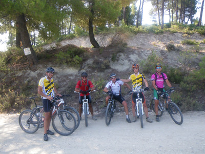
ROAD BIKE TRAINING 15-12-10
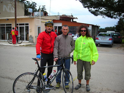
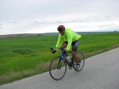
Today we went for road bike training with Kostantinidis Costas. The classic route, Thessaloniki, Souroti, Vasilika, Galatista, Agios Prodromos and return through Raidestos. 100 km with the temperature to minus. We saw the first snow after Galatista. It was just a few but certainly something.
Sunday, December 12, 2010
ROAD BIKE TRAINING 12-12-10
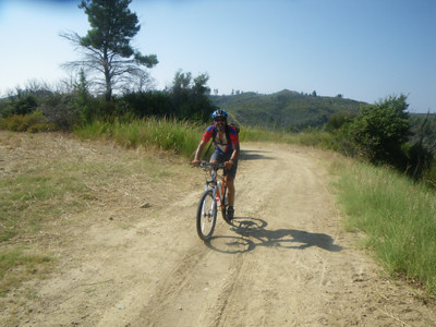
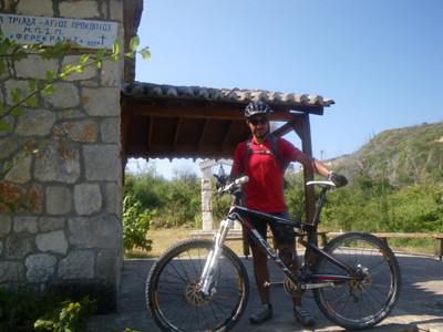
Sunday 12-12-10 and the established road bike training, takes tour dimensions (though not lacking those who turn it into a race forcing others to go to the max and the group eventually scatters). The route was Redestos, Galatista, Poligiros (with a stop for tea that had brought the car escort) and return Simantra, Triglia and eventually Trílofon. The day was just amazing at the beginning as at the return we had enough wind, which together with many kilometers we had done, made it difficult enough. 148 km in 6 hours and as always the video and track.
http://www.everytrail.com/view_trip.php?trip_id=907740
http://www.everytrail.com/view_trip.php?trip_id=907740
Friday, December 10, 2010
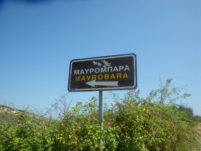
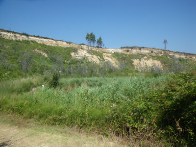
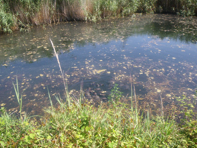
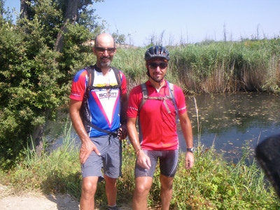
GEOCACHING pt1 Seich Sou Forest 10-12-10
GEOCACHING pt1 Seich Sou Forest 10-12-10. That was my first attempt on this high teck treasure hunt. I searched for three caches and I've found one. That's a good start I guess.
Thursday, December 9, 2010
Sunday, December 5, 2010
ROAD BIKE TRAINING 05-12-10
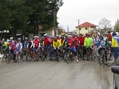
Sunday with a spectacular sunny sky but enough wind (they said 4 Beaufort but I think it should have been at least 6) the standard meet for road bike training was extremely successful. We started at 09:00 from Vulgary and met with guys from Velos at the way to Phoenikas. All together 67 people (even Weasel came from Kilkis). The car drivers were looking, as we went out for protest. The wind was blowing from our back at the beginning so we were traveling at crazy speed on the way to Moudania. After turning for Triglia the pain started as we were riding against the wind. Passing through villages, the old men in the cafes were looking at us with admiration. They were rather surprised to see so many cyclists together. Back from Trilofos where the strong wind didn't let us enjoy the downhill. 120 km in total from my house in 4 enjoyable hours.
Saturday, November 13, 2010
Thursday, November 11, 2010
Tuesday, October 26, 2010

Wednesday, October 13, 2010
Monday, October 4, 2010
Saturday, September 4, 2010
Thursday, September 2, 2010
GPS ELEVATION AND DISTANCE CALCULATION
Long ago, trying to decide in which site to upload my tracks, I accidentally made the following discovery. Any site or software,for the same gpx file, gave quite different results, especially regarding the altitude and the total distance.The scientist in me woke up and began to search. I contacted the owners of various sites (Garmin, everytrail) etc, but everyone was telling his own. Generally the answers did not satisfy. I searched the internet and found that there are others with the same questions.The explanation, after some searching, it is ultimately very simple and is as follows. The total elevation difference emerges by adding the individual ascents. This is done by using an algorithm, which determines the ascents and aggregates. The problem arises because each software uses its own algorithm. Now you say and which is the right one? The answer is none and all.The gps track record and store the position of each point. All points together makes a track. These points also include noise. That is why they have created different algorithms, which try to eliminate this noise, and also the fault of the gps. Essentially they are smoothing the elevation of our track, or else they are correcting it. If left uncorrected is definitely wrong. At this point to say that either use a barometric altimeter gps or not, the result is the same. Again uploading our files in different software, would get different results.What I ultimately did is that. I uploaded some of my tracks at known sites, software and compared them together.The result is tragic. The differences are between 50 and 1000 meters in elevation. What I noticed is that the only showing similarities between them (I would say that is exactly the same) are the Garmin conect using elevation correction and sporttracks. They also gives the correct distances, the ona that it is showing on the gps screen.One of my experiments was this. Compared the elevation of the route of the MTB race in Xirolivado, with the one of my friend Geron, which has a barometric altimeter gps. The Garmin conect and sporttrakcs were the only ones that gave identical results. (My 60cx doesn't have barometric altimeter).Another experiment was to record the same track twice on different days and compare the gpx files between the. Also Garmin conect and sporttracks gave the same numbers. All other out of place and time. So I came to the conclusion that these two are the most reliable. And do not forget that Mom Garmin support and endorse the sporttracks reliability. They surely know better. They are not accidentally, t he dominant manufacturer of gps in the world.Now on the distances. The gps calculate the distance in two dimensions rather than three. This means that when an uphill climb, the device calculates the horizontal distance and not the one we did. So we have error. The question is how large this error is. Suppose an uphill climb and the gps says it is 5 km distance and 300 meters of elevation. According to the Pythagorean theorem (the square of the hypotenuse equals the sum of the squares of the other two sides) the actual distance traveled is 5009 meters. Practically negligible for ordinary mortals. And a more extreme example, even the uphill we did is 100 kilometers and the elevation difference 3. The actual distance traveled is 100 045 meters. An error of 45 meters to 100 kilometers. I do not think are worth mentioning. Surely the bigger the slope and reduced the distance increases the error, eg a climber may see crazy numbers.And do not forget that top athletes of cycling and running are using gps in training and races.
Saturday, August 28, 2010
Friday, August 27, 2010
Wednesday, August 18, 2010
Wednesday, August 11, 2010
Thursday, August 5, 2010
Sunday, July 25, 2010
Monday, July 19, 2010
Sunday, July 11, 2010
Thursday, July 1, 2010
Thursday, June 24, 2010
Wednesday, June 16, 2010
Tuesday, June 8, 2010
Tuesday, May 11, 2010
Tuesday, May 4, 2010
Sunday, April 25, 2010
Η σχέση μου με το τρέξιμο
Με το τρέξιμο ξεκίνησα περίπου το 1987, όταν ήμουν 1η γυμνασίου.
Μετά
από έναν αγώνα στο σχολείο μου όπου κέρδισα την πρόκριση για τον τελικό
στο Καυτατζόγλειο, αποφάσισα να γραφτώ σε ομάδα στίβου.Η πρώτη μου ομάδα ήταν της ΧΑΝΘ, όπου κι έμεινα για 2 χρόνια.
Επειδή όμως ήθελα κάτι λίγο πιο σοβαρό, πήρα μεταγραφή στον ΑΡΗ.
Εκεί όμως η πίεση ήταν μεγάλη (προπονήσεις, αγώνες) για παιδί 3ης γυμνασίου κι έτσι τελικά τα παράτησα.
Ξανάρχισα σε μεγαλύτερη ηλικία, σαν αθλητής ποδηλασίας που ήμουν ήθελα το τρέξιμο σαν εναλλακτική προπόνηση.
Η αρχή έγινε στο Καυτατζόγλειο, με τη βοήθεια της Δήμητρας Ιορδανίδου, όπου και ήταν τραυματική η πρώτη εμπειρία. Σιγά σιγά όμως άρχισα να τρέχω στο Σέιχ Σου.
Εκεί με κέρδισε η μαγεία της φύσης, όπως και στο ποδήλατο άλλωστε κι έτσι ασχολήθηκα πιο σοβαρά με το ορεινό τρέξιμο.
Ετσι ήρθε και ο πρώτος αγώνας στο Χορτιάτη.
Από τότε, όποτε μου επιτρέπει το πρόγραμμα ποδηλασίας, παίρνω μέρος και σε αγώνες, ορεινούς κυρίως ημιμαραθώνιους, αλλά και σε ημιμαραθώνιους δρόμου, όπως ο νυχτερινός της Θεσσαλονίκης.
Saturday, April 24, 2010
Sunday, April 18, 2010
Monday, April 12, 2010
Friday, April 9, 2010
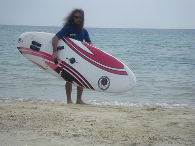
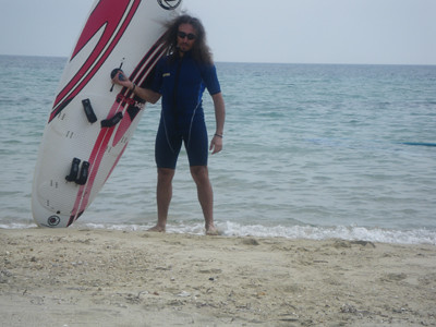
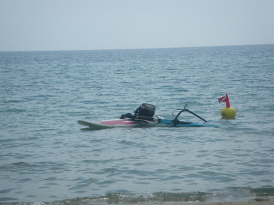
WINDSURF EPANOMI 09-04-10
Greece is one of a few countries, where one day you go for skiing and the other for windsurfing or swimming. And this in spring of course. So after the end of the ski season for me, the water sports season begun today. First day at the beach for 2010. The forecast said that the wind would be about 4 Bf but unfortunately was less than 2. Never mind. The sun was shining and sea was cold but great. I had 5 months to go for windsurf but I did it very well. This summer seems that will be a great one and also I have to learn more moves on my board.
Sunday, April 4, 2010
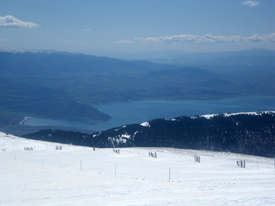
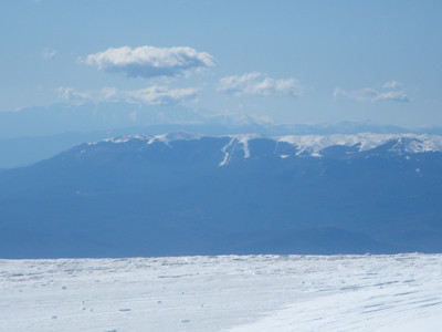
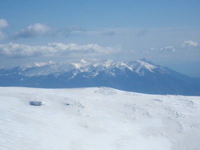
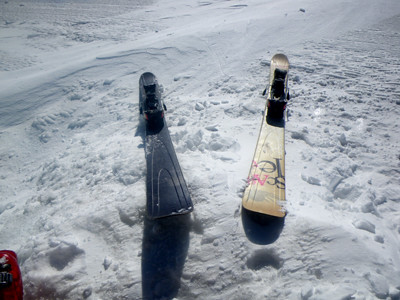
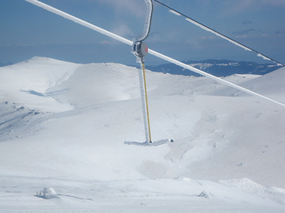
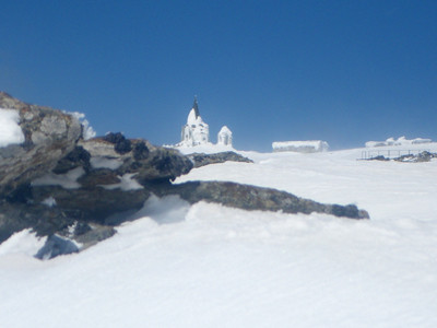
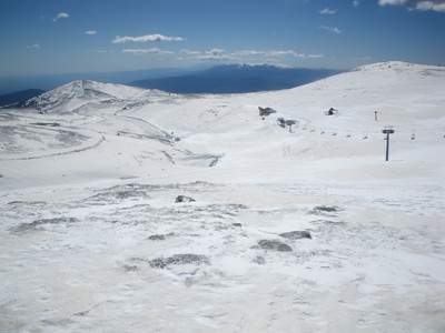
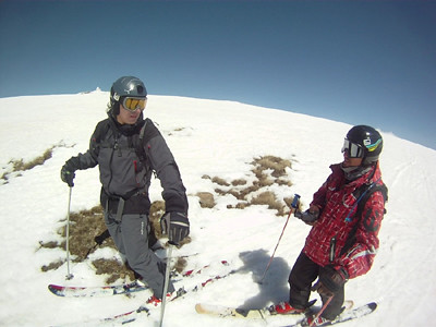
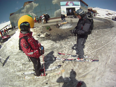
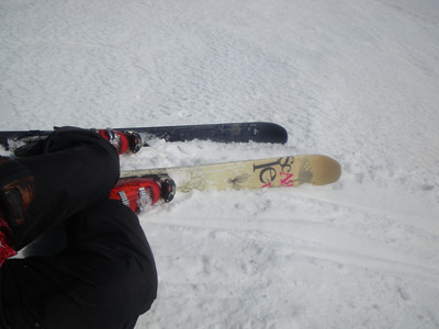
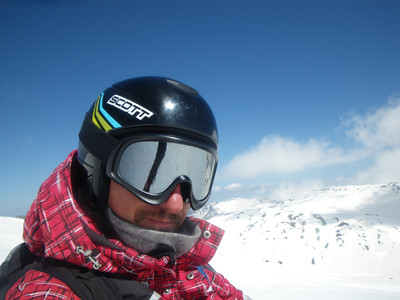
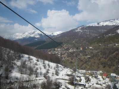
KAIMAKTSALAN SKI RESORT 04-04-10
The last day of the season 09-10 for me and it was at Kaimaktsalan ski resort (where I also met Aeras and Sirios). There is enough snow for ski but after 40 days of skiing and the upcoming race season I'm stopping for this year. Now an other season starts, bike racing, windsurfing and diving, so stay tuned.